
TL;DR

Get wellness gear delivered free with Prime
- Fast, free delivery on millions of items
- Prime Video, Amazon Music and more included
- Member-only deals all year
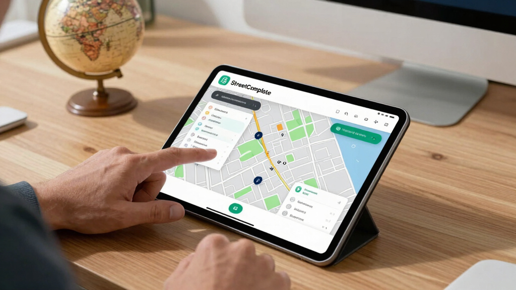
StreetComplete is a mobile application that enables users to contribute small, specific updates to OpenStreetMap via simple quests. This initiative aims to improve map accuracy through community-driven, bite-sized contributions. The app’s approach is gaining recognition for making map editing accessible to a broader audience.
StreetComplete, a mobile app designed to simplify contributions to OpenStreetMap, is gaining traction among volunteers who prefer making small, targeted edits through a system of simple quests. The app’s approach lowers the barrier for map editing, enabling a broader community to improve map data accuracy in real-time.
Developed as an open-source project, StreetComplete allows users to answer straightforward questions about their surroundings, such as the name of a street or the type of a building. These responses are then directly integrated into OpenStreetMap, a global collaborative mapping platform. The app emphasizes ease of use, requiring no prior experience with GIS or map editing, which broadens participation among casual users and volunteers.
According to the project’s maintainers, StreetComplete has seen increasing downloads and active users, particularly in regions where local map data is outdated or incomplete. The app employs a quest-based system, where users are presented with small tasks—such as confirming the presence of a bike lane or identifying a place’s opening hours—that can be completed quickly. This method encourages continuous, incremental improvements to the map.
OpenStreetMap relies heavily on community contributions, but the complexity of editing tools and data standards has historically limited participation. StreetComplete aims to address this by providing a simple, gamified experience that incentivizes regular contributions without requiring technical expertise.
Community-Driven Map Improvements Through Simplified Contributions
This development matters because it democratizes map editing, enabling more people to participate in improving geographic data. As accurate maps are essential for navigation, urban planning, disaster response, and various other applications, increasing community involvement can significantly enhance data quality and coverage. The app’s success demonstrates the potential for accessible technology to broaden participation in open data projects like OpenStreetMap.
As an affiliate, we earn on qualifying purchases.
OpenStreetMap’s Growth and Challenges in Community Engagement
Since its launch in 2004, OpenStreetMap has become one of the world’s largest open geographic data sources, relying on volunteer contributions. Despite its success, the platform faces challenges in engaging a diverse user base due to complex editing tools and data standards. Various initiatives, including mobile apps like StreetComplete, aim to lower these barriers. Recent years have seen a push toward more user-friendly interfaces to attract casual contributors and expand data coverage, especially in underserved regions.
“Our goal is to make map editing as simple as answering a few questions. Anyone can help improve OpenStreetMap without needing specialized skills.”
— Martin Koppenhoefer, developer of StreetComplete
handheld GPS device for outdoor navigation
As an affiliate, we earn on qualifying purchases.
As an affiliate, we earn on qualifying purchases.
Unclear Long-Term Impact on Community Engagement
While initial adoption of StreetComplete is promising, it remains uncertain how significantly it will impact the overall quality and coverage of OpenStreetMap in the long term. It is also unclear how many casual contributors will continue participating over time or how the app will evolve to address potential limitations, such as data verification and quality control.
As an affiliate, we earn on qualifying purchases.
Future Developments and Potential Expansion of the App
Developers plan to introduce new quest types and improve user interface features to further lower barriers to contribution. There is also potential for integrating StreetComplete with other mapping tools and platforms, which could increase its reach. Monitoring user engagement and data quality over the coming months will be key to assessing its long-term impact on OpenStreetMap’s ecosystem.
As an affiliate, we earn on qualifying purchases.
Key Questions
How does StreetComplete differ from traditional map editing tools?
StreetComplete simplifies the editing process by presenting users with straightforward questions about their surroundings, eliminating the need for technical map editing skills. Traditional tools often require familiarity with complex interfaces and data standards.
Can anyone use StreetComplete to contribute to OpenStreetMap?
Yes, the app is designed for casual users and volunteers without prior experience in GIS or editing, making it accessible to a broad audience.
What types of updates can users contribute through StreetComplete?
Users can contribute various small updates, such as confirming street names, adding details about amenities, or identifying types of infrastructure like bike lanes or bus stops.
Is the data contributed through StreetComplete verified?
The app relies on community review and validation within OpenStreetMap, but the quality of contributions depends on user accuracy and ongoing community moderation.
What are the next steps for the development of StreetComplete?
Developers plan to add new quest types, improve interface usability, and explore integration with other mapping platforms to expand its capabilities and user base.
Source: hn
Columbus Day / Indigenous Peoples' Day Picks
long weekend sales
As an affiliate, we earn on qualifying purchases.